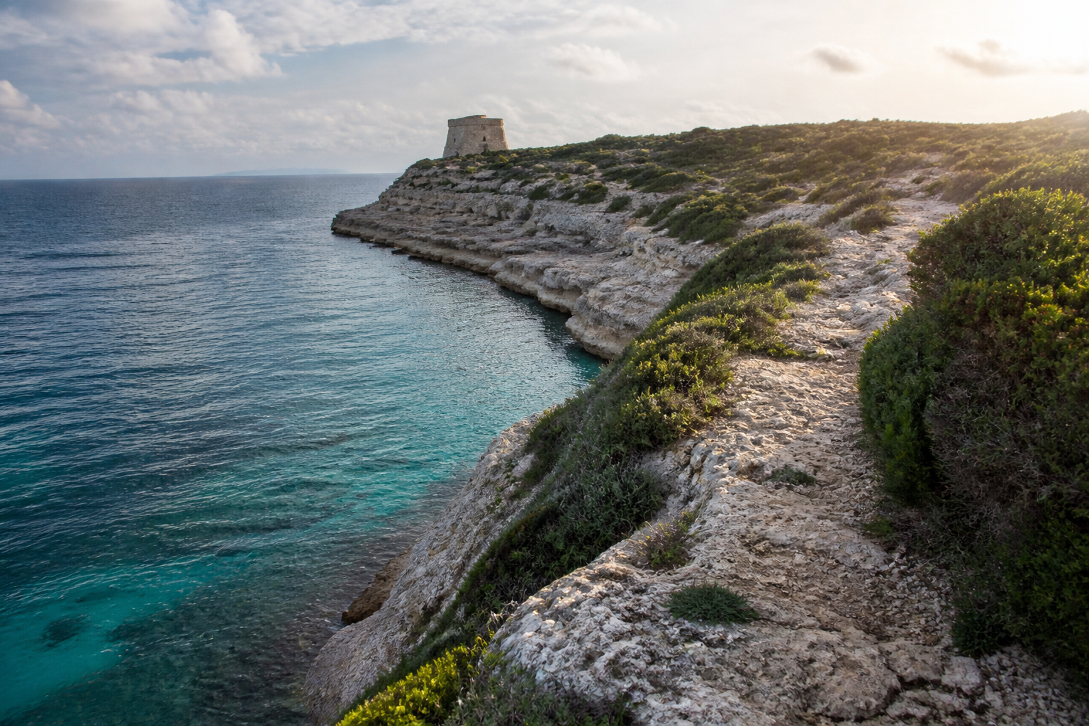
Malta is a better hiking destination than most visitors expect, but timing matters. The best months for walking are October to May, which is the window Visit Gozo recommends on its official walk leaflets. Winter is also when the countryside turns green and you can walk for hours without the summer glare. This guide covers the best trails on Malta, Gozo and Comino, plus the things that catch people out in winter: short days, slippery valleys, wind on the cliffs and the autumn hunting season.
When to go hiking in Malta
From October to May the weather suits walking. Summer is the problem, because the sun is strong and many routes have almost no shade. Met Office averages show about 90 mm of rain in November and December, 89 mm in January and 83 mm in February, falling to about 41 mm in March and 26 mm in April. Mid-winter is wetter, but Visit Malta still reports around 5 to 6 hours of sunshine on an average winter day.
The other limit is daylight. This week the sun sets at about 16:50, so start in the morning and finish well before dark. Wind matters too, because several of the best routes follow exposed clifftops. Check the 7-day forecast and wind on our Malta this week page before you commit to a cliff walk, and see our winter packing guide for layers and shoes.
Before you set off
- Shoes and water: paths are rough limestone, so wear proper walking shoes. Many routes have no shops or shade, so carry plenty of water and a hat, because even cooler months can feel hot in the sun.
- Cliff edges: keep a safe distance from cliffs and the shoreline, especially in strong wind or rough seas.
- Valleys after rain: Malta gets occasional heavy downpours that cause flash floods. Avoid walking in valleys during or just after heavy rain.
- Private land: stay on the route. Fields are private, and a sign reading RTO means Reserved to Owner.
- Phone signal: coverage can be patchy on remote stretches, so download an offline map. The emergency number is 112.
- Getting back: for one-way walks, use the journey planner on the Malta Public Transport website, and read our bus and Tallinja card guide.
Walking during the hunting season
Bird hunting is legal and regulated in Malta, and it overlaps with the best walking months. The autumn season runs from 1 September to 31 January, so you may hear gunshots in the countryside and see small stone huts used by hunters. BirdLife Malta’s 2025 guidance sheet listed rules that matter to walkers. There was no hunting after 1pm on Sundays and public holidays, none within 50 metres of a main road or of listed beaches such as Golden Bay, and none in bird sanctuaries including Comino, Għadira, Buskett and the Ta’ Ċenċ cliffs in Gozo. In Il-Majjistral park that year, hunting hours ended at noon, or 10am on Wednesdays and public holidays.
These rules can change, so check BirdLife Malta’s current sheet. Most walkers never have a problem. Staying on the path and, in Majjistral, walking after midday are simple precautions.
Best walks on Malta
Dingli Cliffs to Wied iż-Żurrieq
This is the classic. It starts near the radar dome on Malta’s highest sea cliffs and follows the south-west coast for about 11 km (3 to 4 hours, moderate, one way). You pass the Bronze Age site of Wardija San Ġorġ and the temples of Ħaġar Qim and Mnajdra, then finish at the tiny harbour of Wied iż-Żurrieq with views of the islet of Filfla. Our Dingli Cliffs guide covers the starting point, and the Blue Grotto page explains the boat trips at the end. If your legs have had enough, you can shorten the walk by stopping at the temples.
Il-Majjistral Nature and History Park
The park runs along the north-west coast from Golden Bay to Anchor Bay and has about 6 km of walkable coastline, according to the park itself. It is managed by three non-profit groups: Din l-Art Ħelwa, the Gaia Foundation and Nature Trust (Malta). The terrain is rocky and uneven, with cliffs, boulder slopes and old stone huts, so progress is slower than the distance suggests. Winter is a good time to visit. Temporary rock pools form on the rocky ground, the Maltese spurge starts flowering from December, and the Maltese pyramidal orchid flowers from February. Start from Golden Bay and turn back whenever you like.
The Victoria Lines and the Dwejra Lines
The Victoria Lines are a line of British-era defensive walls and forts along the Great Fault, a natural ridge that crosses northern Malta. The full line is about 12 km. It is not a formally managed trail, and some sections are overgrown or in poor condition. The best-preserved stretch is the Dwejra Lines, nicknamed the Great Wall of Malta. A walking blog describes an easy out-and-back from the Our Lady of Hodegetria chapel of about 3.5 km, roughly an hour. Do not confuse it with Dwejra in Gozo, which is a different place entirely.
Marfa Peninsula and Girgenti Valley
Lonely Planet describes a loop of about 14.5 km (4 to 5 hours) around the Marfa peninsula from Għadira Bay, passing the Red Tower and the White Tower. For something gentler, its Girgenti Valley walk covers about 7.7 km, easy and one way, from the shaded Buskett Gardens to the village of Siġġiewi, with regular buses back. Both figures come from a 2022 article, so treat them as approximate.
Best walks on Gozo and Comino
Gozo has nine official walks, each with a downloadable leaflet and map on the Visit Gozo website. The recommended season on the leaflets is October to May. Most visitors reach Gozo on the Gozo Channel ferry from Ċirkewwa to Mġarr, then take a bus from the harbour to Victoria. Our Gozo day trip guide explains the logistics, and the Gozo destination page has more ideas.
Xlendi Walk
This one-way coastal route runs about 12 km (moderate) from Mġarr Harbour to Xlendi Bay. It passes the fjord-like inlet of Mġarr ix-Xini and the Ta’ Ċenċ and Sanap cliffs. Lonely Planet suggests allowing 3 to 4 hours, then lunch in Xlendi and a bus back via Victoria.
Dwejra Walk
This 13 km loop (moderate) starts and ends in Victoria. It crosses the green Wied il-Lunzjata valley and reaches the Dwejra Heritage Park with its Inland Sea and Fungus Rock. The famous Azure Window arch collapsed in a storm in 2017, but the coast is still dramatic. The leaflet warns that the valley crossing becomes slippery or impassable after rain, so take the detour via Ta’ Kerċem when it is wet.
Saltpans Walk
This 12 km circular route (moderate) also starts in Victoria. It goes through Sara Valley to Wied il-Għasri, the salt pans near Xwejni and Qbajjar Bay, where there are restaurants and toilets. The leaflet notes that winter storms on this north-facing coast can be both beautiful and threatening, so keep well back from the edge.
Comino
Visit Gozo’s Comino walk is a circuit that starts and ends at the Blue Lagoon. Lonely Planet gives about 7 km, 2 to 3 hours and easy. Boats to Comino can be cancelled in strong wind, so confirm with the operator the day before. Our Comino guide has the background.
Easy, moderate or hard: how to choose
- Easy and short: the Dwejra Lines out-and-back, the Girgenti Valley walk and the Comino circuit.
- Moderate half-day walks: Dingli to Wied iż-Żurrieq, the Xlendi Walk and the Saltpans Walk.
- Longer days: the Dwejra Walk and the Marfa loop, best started early.
FAQ
Is hiking in Malta safe?
Yes, with normal care. The main risks are cliff edges in wind, slippery rock after rain, heat and sun, and patchy phone signal. Stick to marked routes, tell someone your plan and check the forecast.
Do I need a guide or a map?
For Gozo’s official walks, the Visit Gozo leaflets and maps are enough. On Malta, many paths are unmarked, so use an offline map. Lonely Planet also notes that the Ramblers’ Association of Malta organises informal guided walks from October to May.
Can I hike in Malta in summer?
It is possible, but sources advise avoiding June to August. If you must, start at dawn, carry extra water and choose shorter routes.
How do I get back from a one-way walk?
Use the bus. On Gozo, buses from Xlendi run to Victoria, where you can change for the harbour. On Malta, plan your return with the Malta Public Transport journey planner before you start.
Prices and times change, check the official site before you go. Ferry, bus and route details are on the Gozo Channel, Malta Public Transport and Visit Gozo websites.
The short version
Hike between October and May, start early, respect the cliffs and the weather, and stay aware of the hunting season. For a first walk, Dingli to Wied iż-Żurrieq on Malta and the Xlendi Walk on Gozo give the best scenery for the effort.
Planning further ahead? See our guide to the best time to visit Malta and our Malta itinerary.